Flagship regional biodiversity outlook delivering evidence-based geospatial intelligence insights to Conserve Nature, Empower Communities sustainably across Eastern and Southern Africa.
Beyond the map
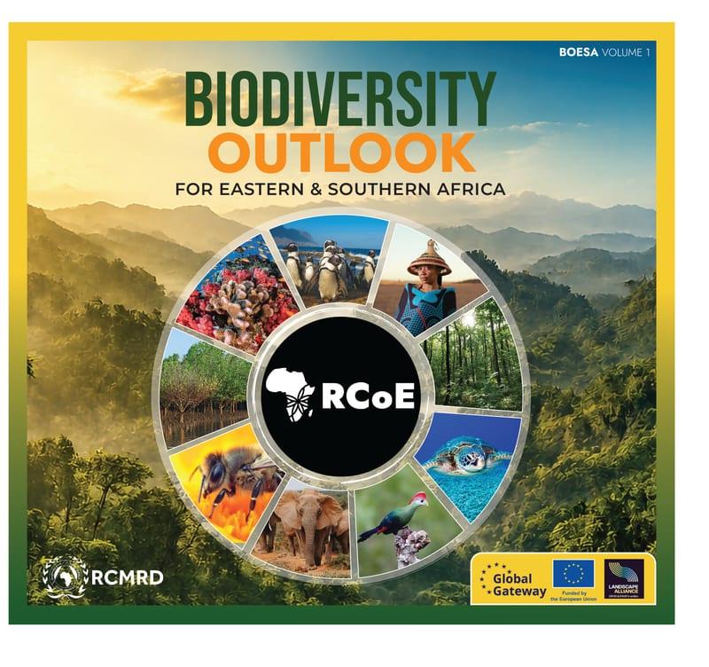
Biodiversity Outlook for Eastern and Southern Africa (BOESA) is the Regional Centre for Mapping of Resources for Development’s (RCMRD’s) Premier regional biological diversity observatory providing an authoritative, evidence-based assessment of the status, trends, opportunities and emerging challenges shaping biodiversity conservation across Eastern and Southern Africa.
Developed through the collective efforts of RCMRD, its Member States, and leading international partners, BOESA integrates geospatial intelligence, spatial analysis, scientific data, and compelling visual storytelling to support informed decision- making, conservation planning, policy development and sustainable natural resource management. The observatory delivers comprehensive regional and country biodiversity profiles through high-quality maps, statistics and visual narratives offering insights into the region’s most critical ecosystems and conservation priorities.
Three Core Themes
Discover the region's most significant ecosystems, protected areas, species, and conservation achievements through maps, data, and compelling visual stories.
Explore the status, trends, and conservation of forest ecosystems, protected areas, and biodiversity across Eastern and Southern Africa.
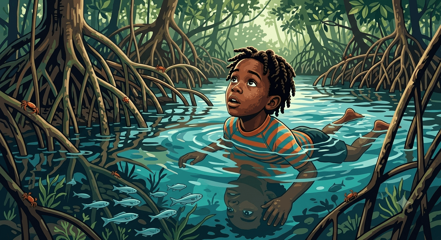
From vibrant coral reefs to expansive mangrove forests, discover Africa's marines. Explore its status, emerging trends, and the efforts protecting these vital coastal and ocean ecosystems.
Discover BOESA
Beyond the book, BOESA is a living platform. Track conservation targets, wander through maps, follow a story trail, and dig into the resources.
"You cannot protect the environment unless you empower people, you inform them, and you help them understand that these resources are their own."
— Wangari Maathai
Free Regional Training
A two-week live online course from RCMRD teaching participants to turn spatial data into interactive Web Maps, Dashboards, StoryMaps, and GeoHex visualizations with ArcGIS Online. The same geospatial storytelling behind BOESA, applied to real conservation case studies and the GeoHex Conservation Challenge 2026.
Runs 10–21 Aug 2026 · Register by 31 Jul 2026