Progress towards protecting 30% of Land and Seas by 2030 for Eastern and Southern Africa
▼
Explore the 25 countries covered by our region.
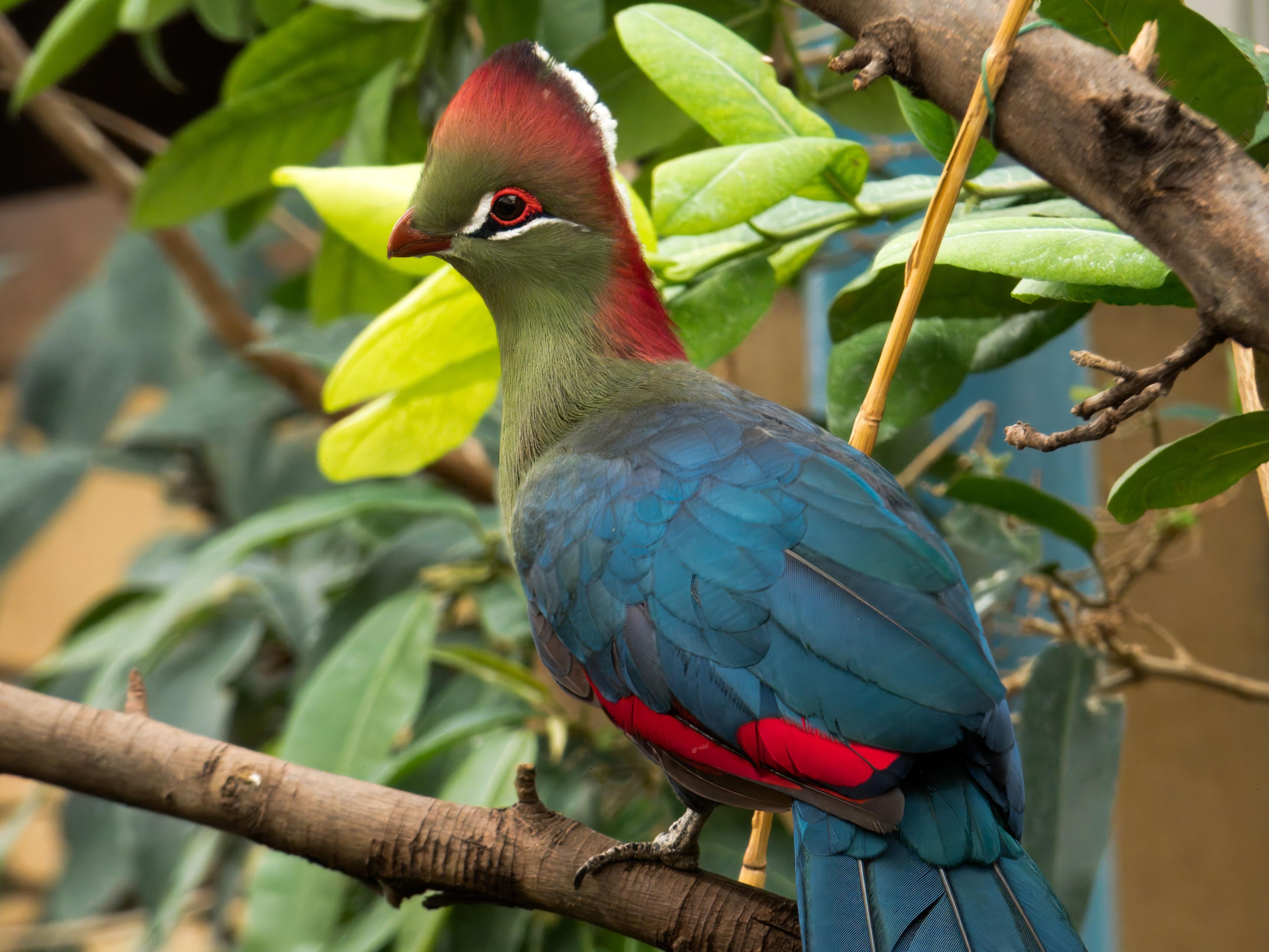
National animalRed-crested turacoTauraco erythrolophusLeast concernIUCN Red List global status - not currently threatened.Endemic to Angola — it lives in the wild nowhere else.Photo: DickDaniels ( http://theworldbirds.org/ ) · CC BY-SA 3.0
01Coverage
Progress made towards the 30% target by 2030
Terrestrial
134k km² of 1.25M km²
Marine
16 km² of 496k km²
Coverage by realm
Coverage trend 1938–2011
From each site's year of current legal status, available for 83.3% of sites. Sums site areas, so overlapping designations count more than once. The terrestrial curve therefore ends slightly above the 10.8% reported today. Each line is a share of its own realm's area, so the two share an axis but not a denominator.
02Where the sites are
How is the protected estate distributed?
Show
Loading map…
Circle size ∝ site areaProtected Area (PA)Other Effective Conservation Measure (OECM)
Loading sites…
03Management assessment
Has management effectiveness been assessed?
2.5%
of protected land assessed
4 / 18
sites assessed
0
IUCN Green Listed sites
Assessment methods used
04Governance
Who governs the protected estate?
Share of area by governance type
Not Reported100.0%
18 sites · 157k km²
0.0%governed by Indigenous peoples & local communities0IPLC-governed sites
05Protected areas & OECMs
What makes up the protected estate?
18
protected areas
0
OECMs
19.2%
still to reach 30% on land
Cumulative area designated, by year
Running total of land inside sites whose current legal status dates from that year or earlier, split PA vs OECM.